

New bathymetry features
Bathymetry data can now be used in Seafloor Planner, to help plan acquisition in shallow areas. SFP can:
- Import bathymetry from .xyz, .csv or .txt format
- Grid and resample bathymetry data
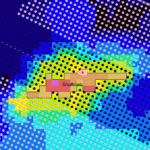
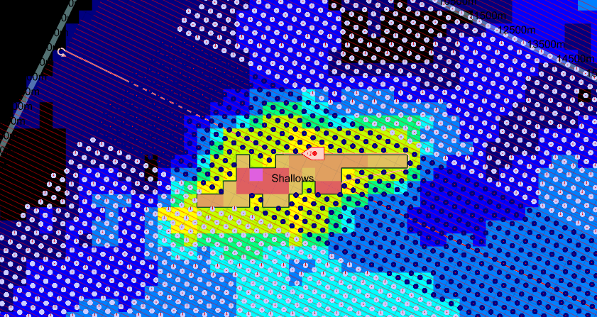
- Display bathymetry in the map
- Create obstruction or outline objects from bathymetry
Bug fixes and usability improvements
- Fixed: SFP becomes unresponsive on opening a project containing a WMS image, if the WMS is no longer accessible.