
-
SurvOPT 3.8: What’s New?
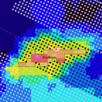
New fold and binning features Seisintel CSV format exports Bug fixes and usability improvements
-
Seafloor Planner 2.4: What’s New?
Lay ahead by number of patches CSV export improvements Bug fixes and usability improvements
-
Seafloor Planner 2.3: What’s New?
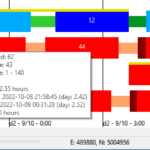
Export receiver and shot tasks to CSV New properties for multirole vessels Import a source area from a polygon New progress bar while survey is building New method of calculating polygon area Bug fixes and usability improvements
-
Seafloor Planner 2.2: What’s New?
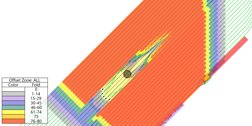
Enforce a minimum separation between source vessels Optimize a survey within user-defined tiles New Alerts display panel Smarter interpretation of SPS files Bug fixes and usability improvements
-
Seafloor Planner 2.1: What’s New?
Important note on release 2.1: Source line generation changes for dual-source shooting Multirole vessels New/extended coordinate reference system capability Background images Set max line length for patch optimization Turn pattern optimization Bug fixes and usability improvements
-
Seafloor Planner 2.0.2: What’s New?
Obstructions that vessels can enter Specify number of tiles (zippers) in main survey dialog Display origin, inline / crossline axis and distance grid Bug fixes and usability improvements
-
Seafloor Planner 2.0.1: What’s New?
Important notes on release 2.0.1 Improved receiver lay ahead options Improved source line patterns Export patches to SPS format Bug fixes and usability improvements
-
Seafloor Planner 2.0: What’s New?
Important notes on this release Use tiles (zippers) in patch-based and rolling spread surveys Much faster map-based editing, with Apply and Cancel buttons Undo and Redo Bugs fixes and usability improvement
-
Seafloor Planner 1.4.1: What’s New?
Import obstructions Divide Lines Evenly turn pattern Note on changed vessel costing and turn patterns Bug fixes and usability improvements Stay tuned: What’s in upcoming releases?
-
Seafloor Planner 1.4: What’s New?
Initial obstruction implementation Initial support for multiple source vessels Distance and angle measuring tool Bug fixes and usability improvements